Route 04
Five and a half miles where the shade never really stops
The largest piece of walkable ground in this index, with the best shade ratio of anything in it, and the only route here where getting lost is a normal outcome rather than a failure.
A creek runs west to east across the north side of the city, and a large park runs with it. Inside the park is a trail network under close to continuous canopy, an extensive area where dogs may be off lead, and enough junctions to make a map worth carrying.
In late June, under this much shade, it is the most comfortable long walk available here.
The walk
Five and six tenths of a miles as a loop with one out and back spur, walked anticlockwise. Two hours fifty at an easy pace, on a June morning that started at eighty one degrees and finished at ninety four.
That temperature swing is the story of this route. The first two miles under canopy feel like a different climate. The last mile, on the open link, does not.
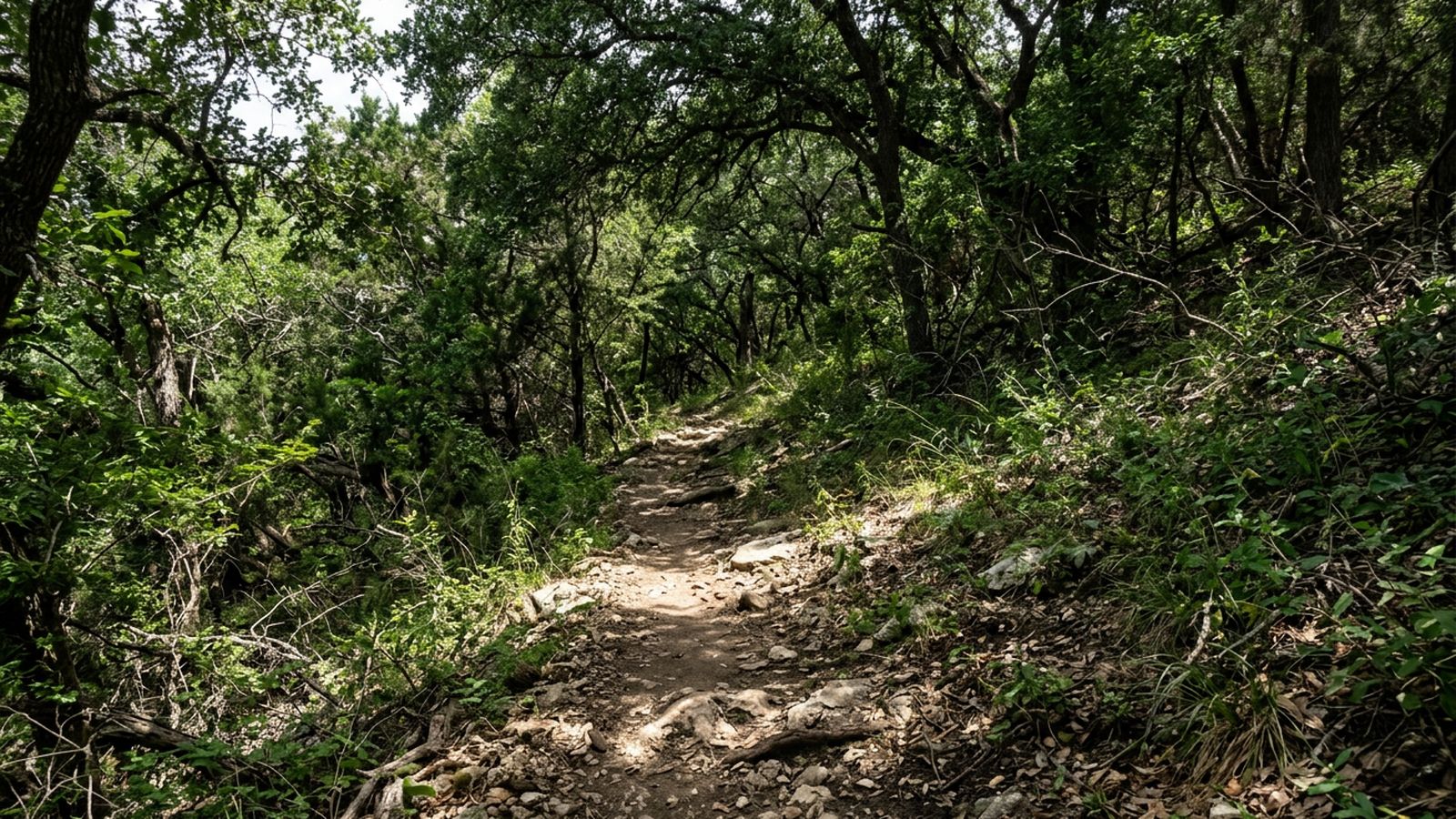
The shade, which is the argument
Four fifths of the route is under canopy and it holds all day, because it is woodland rather than a single line of trees. There is one open link of about half a mile joining two sections, and it is paved, which makes it the hottest ground on the route by a wide margin.
Walk the loop so the paved link comes first. This record walked it last, which was an error, and the error is printed here because it is the most useful sentence in this record.
The water
Three creek accesses. Two are gentle gravel entries, one at the low point of the loop and one on the spur. The third is a steep bank that this record does not recommend and does not count.
By late summer the creek is intermittent. In a dry August the two gentle entries can be dry gravel with a pool fifty yards downstream, and the pool is not always reachable.
Off lead, and the junctions
Most of the park permits dogs off lead, which makes it the largest such ground in the city. It also has the least legible trail system in the index.
- Junctions are frequent and only sometimes signed.
- Several are four way, and two of the four look identical.
- The creek is the only reliable orientation, and in the middle section it is not visible.
- Being briefly lost here is normal, safe and slightly tedious.
An off lead dog and an unsigned four way junction are a bad combination for anybody whose dog gets ahead. The rule that works is to keep the animal within sight of the junction, not within sight of you.
The gravel
Two descents carry loose gravel over hardpack. It rolls, and it rolls in the direction you are already going. This is the surface note that matters on this route: not the distance, not the heat, but a rolling surface on the two steepest pieces of the loop.
The signs
Transcribed: entry points carry signs permitting dogs off lead under control. The paved link and the car park areas carry signs requiring a lead. What the signs mean in law is outside this journal's subject.
When not to come
Between the middle of July and the middle of September, at any hour after eight in the morning. Five and a half miles here is a comfortable morning in June and an unwise one in August, and the shade makes the difference hard to feel until it is too late to shorten.
Before you go
- Walked
- 21 June 2026
- Distance
- 5.6 miles
- Shade
- four fifths, all day
- Water
- creek in three places, two of them gentle
- Surface
- packed dirt, some loose gravel, one paved link
- Signed
- off lead permitted across most of the park
- Best hours
- until eleven in June, dawn only in August
This is the longest route in the index and the easiest to overcommit on, because the shade makes the first two miles feel like nothing. The trail network is genuinely confusing and the junctions are not signed consistently. Loose gravel on two descents is the surface to think about on wheels or on old joints.