Route 02
Four flat miles where the shade is all on one side
The river path through the middle of town is the most used ground in the city, and the south bank is the half worth walking, for a reason that is entirely about trees.
The river runs through the middle of Austin and a path runs along both banks. They are not the same walk. The north bank is open, hot and faster; the south bank grew a canopy of pecan and cypress that survives every attempt to develop the ground under it.
For anybody walking with an animal, the south bank is the whole answer.
The walk
Four and one tenth miles as an out and back between two bridges, on decomposed granite the entire way. Two hours ten with stops, on an April morning at seventy eight degrees with the sun already meaning it.
Flat. There is no gradient on this route worth naming, which makes it the route in the index to use when something is stiff or elderly or simply not in the mood for stone.
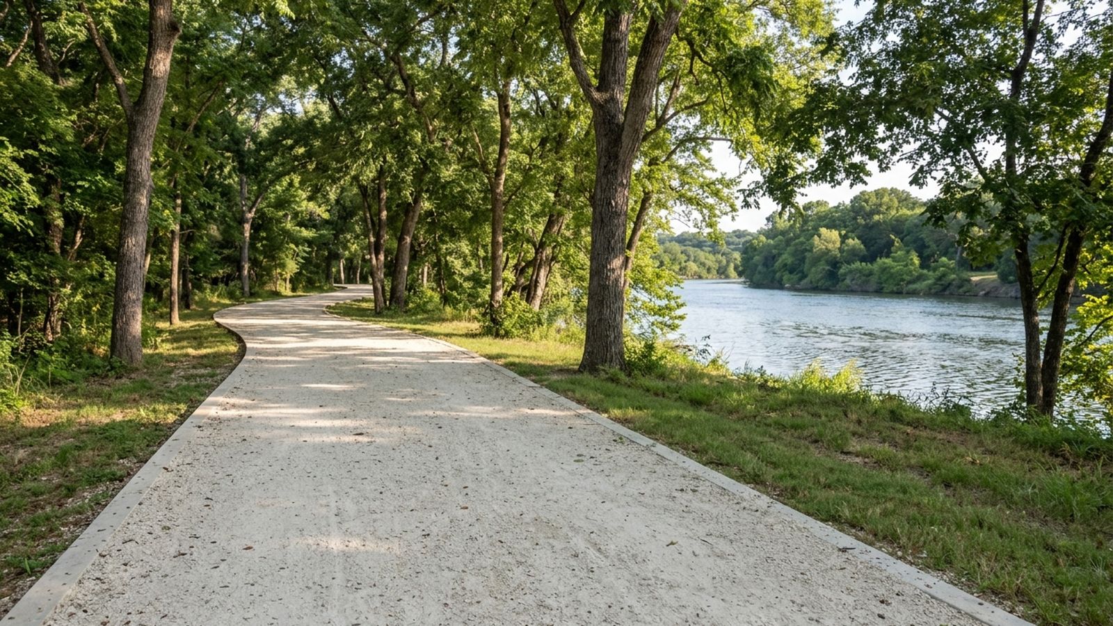
The shade, and the granite
Half the route is under canopy and it is not evenly spread: the middle third is nearly continuous shade, and the two ends are open. Plan the turn so the open ends are done early.
Decomposed granite is a good surface for a paw and a poor one for heat. It absorbs all morning and gives it back into the evening, so a path that felt fine at nine can be uncomfortable at six even after the air has cooled. The back of a hand held down for five seconds is the test, and in July the open sections fail it well before noon.
The two water points
Two, both named because they are gentle: a shallow gravel entry beside the eastern bridge, and a mud and grass slope in the middle third where the bank steps down in three easy stages.
Everywhere else the bank is either a wall, a drop into deep water, or thick with reeds. On a four mile walk two entries is thin, and it is the main argument for the creek routes over this one in high summer.
The crowd
This is the part nobody writes down. On a weekday morning the path is quiet and pleasant. From about eight on a Saturday it is a moving stream of runners, bicycles, pushchairs and other dogs, on a path eight feet wide with no dividing line.
A dog that is fine with other dogs at ten feet is not necessarily fine with forty of them at three feet. This is the busiest ground in the index and the only route in it where the traffic, not the heat or the stone, is the constraint.
If that is a problem, this route is a weekday route, or an after five one, and it is genuinely excellent as both.
The signs
Signs appear at roughly quarter mile intervals and all say the same thing: a lead is required. Transcribed, not interpreted.
Why it stays in the index
Because it is flat, the surface is kind, the shade is real for a third of it, and it can be shortened to any length you like by turning around. No other route here does all four.
Before you go
- Walked
- 12 April 2026
- Distance
- 4.1 miles
- Shade
- half, and only on the south bank
- Water
- two reachable points, both gentle
- Surface
- decomposed granite throughout
- Signed
- lead required, signs every quarter mile
- Best hours
- before eleven or after five from May
This is the busiest ground in the index by a wide margin, and on a Saturday morning it is a moving crowd of runners, bicycles and other dogs on a path eight feet wide. The granite holds heat and gives it back for hours. Both water points are gentle slopes rather than drops, which is the reason they are the ones named.